- Transport
- Community map
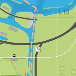
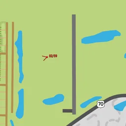
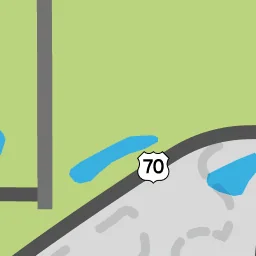
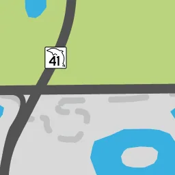
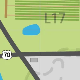
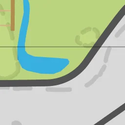
Airfield
Transport · Leonard County · Pin #1565




Nearby spots
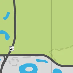
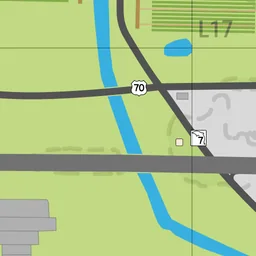
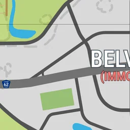
The 6 closest spots on the map, measured in a straight line.
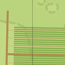
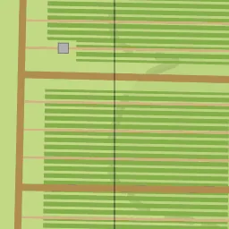
- Sugar Fieldsabout 430 m west · Other buildings#1065
- Radio Towerabout 490 m west · Police & public services#888
- Train Bridgeabout 720 m north-west · Ambrosia#2643
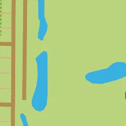
- Lakeabout 760 m south · Other buildings#3103
- Leonard County Sheriff's Officeabout 800 m south · Other buildings#3104
- Ambrosia Stationabout 810 m north-west · Ambrosia#591